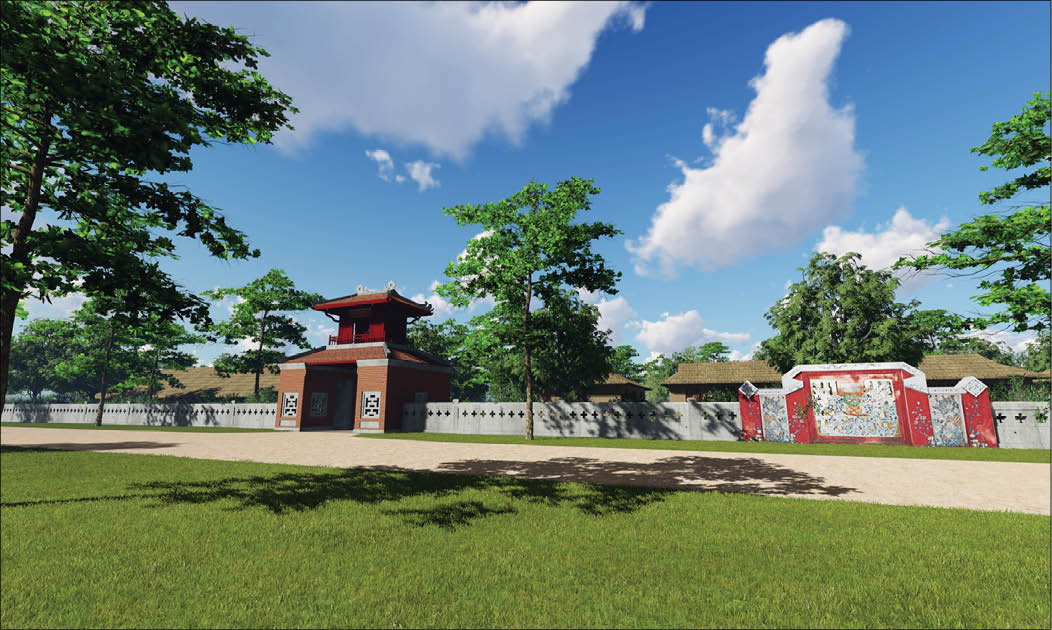
3D Visualization of Quoc Hoc School in its early years
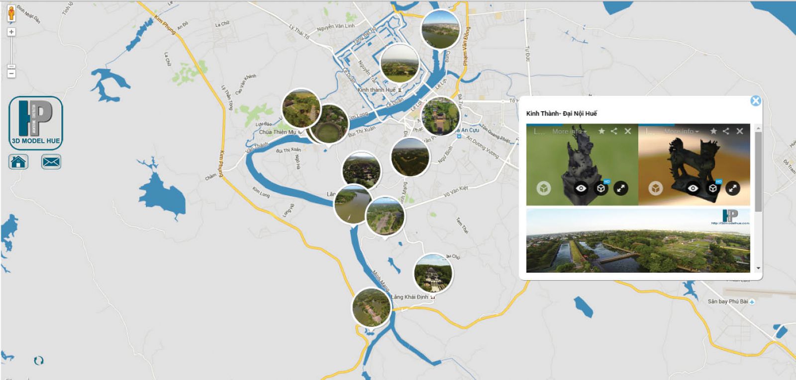
This 3D digitized map is a non-profit project of architect Nguyen Quang Huy (MA) which aims to digitize and store the characteristics of Hue's tangible heritage. The application of the Sketchfab (specialized 3D platform) combined with Google Maps platform creates a visual interface, from the overall geographic location of the relics to the details of the Nguyen Dynasty artifacts. This is a free and useful source of information not only for Hue researchers but also for those who want to visit and learn more about Hue.
The 3D digitized map consists of 3 main parts: historical information of artifacts and relics, 3D modeling of artifacts, and information links for researchers and tourists to the site and heritage management agency. Some specific products that Huy and the members of Hue's 3D Architecture Club have put a lot of effort into doing over the past 3 years is a 360-degree map visualizing the Ngu Ha River, a 360-degree map of different relics sites, some of the stone artifacts of the Hue Royal Antiquities Museum, and a 3D visualization of Quoc Hoc School in its early years (this was awarded a certificate of merits by the Department of Culture and Sports).
"The 3D digitized map of Hue monuments was formed after the fly cam project for aerial photography for urban planning and monitoring. Google 3D maps actually used this technology to develop their 3D maps for famous heritage cities, but they have yet to mapHue. Therefore, I thought I could map Hue in this way," architect Nguyen Quang Huy said.
Nguyen Quang Huy said: "I have applied this solution to implement the Vietnam-Italy Protocol project named "Surveying based on the application of archaeological, geological, biological technology and information technology to promote the planning, restoration and development of Quang Tri Citadel.” In Hue, I am supporting the Hue Royal Antiquities Museum to digitize the outdoors rock artifacts. We can use handsets that do not need specialized software or highly configurable PCs to be able to look at objects in a multi-dimensional way with 3D. In addition, I have added 360-degree photo data to diversify the viewpoints of the relics and artifacts," said Nguyen Quang Huy.

Illustration of the new interface based on Google Maps of an overview of the detailed 3D data
"The 3D digitization map was first launched in 2014. An advantage was that the technology was already available and supported by Sketchfab (online 3D rendering and displaying solution). The Hue's 3D Architecture Club is the 3D support representative for museums in Vietnam within the Sketchfab project (Sketchfab is a well known startup supported by many tech companies like Microsoft). However, the difficulty is that the heritages are under management of monument agencies, so it is not easy to gather information and take photographs without permission; the technical support team for this nonprofit project is also small. Currently, the map is continually being improved with data addition and the project is fortunate to receive support from the Hue Royal Antiquities Museum. We have tested the 3D data for the museum on Sketchfab for promotion purposes," architect Nguyen Quang Huy shared.
"This is a nonprofit and continuous project that can only be sustained with support from the community. The forthcoming approach is to integrate more data of traditional Hue garden house system and French colonial architecture in Hue to contribute to online data storage for researchers and tourists," said architect Nguyen Quang Huy.
By Ngoc Ha
